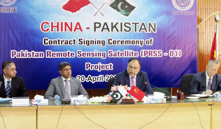
Pakistan’s Space & Upper Atmosphere Research Commission (SUPARCO) and China Great Wall Industry Cooperation (CGWIC) have signed a contract to develop and launch a remote sensing satellite, dubbed PRSS-1, into space.
Ahsan Iqbal, Federal Minister for Planning, Development and Reforms, and Yin Limping, President of CGWIC, signed the agreement for the same on Wednesday.
While speaking at the occasion, Mr. Iqbal said that this historic agreement has carried Pakistan-China friendship from the Himalayas to the stars. He hopes to see the cooperation between the countries in space sciences to bring about more interaction in socio-economic projects and several other fields. The minister said that he considers space technology to be an important part of socio-economic development.
Signed contract for Pakistan's Remote Sensing Satellite Project to be commissioned in 2018. Yet another milestone pic.twitter.com/Yob3n4t7Lr
— Ahsan Iqbal (@betterpakistan) April 20, 2016
Mr. Iqbal was optimistic that the virtue of the contract allows Pakistan to be able to carry out the planning and implementation of all development projects under the China-Pakistan Economic Corridor (CPEC) in a scientific manner.
The agreement would also transfer space technology to Pakistan. Signed contract for Pakistan’s Remote Sensing Satellite Project will be commissioned in 2018. – Mr. Ahsan Iqbal
The Minister for Planning called the PRSS-1 as one of the flagship projects between Pakistan and China under the CPEC, hoping that it will redefine bilateral relations between the companies.
How Can Pakistan Benefit From this Project?
An advantage of the agreement is that the satellite project will help Pakistan with its national security matters and strengthen border security and surveillance capabilities. The Pakistani minister even proposed sending a Pakistani astronaut to space via a Chinese spaceship in 2017 as a symbol of strong relations amongst the nations.
PRSS-1 will be the first remote sensing satellite from Pakistan which also supports multiple applications. Mr. Iqbal thinks that the satellite project has gathered more significance due to the ongoing CPEC and related projects.


Could anyone please specify what is the scope and function of a Remote Sensing Satellite? This article is written with the assumption that every PP reader is a space researcher.
A remote sensing satellite have different sensors on board and its functions are dependent on the types of sensors installed. Eg: the optical sensor could be used to take images of earth for military and civilian applications.
Such satellites are being used to forecast weather, crops, distribution of minerals ,disaster management and to survey for infrastructure development using different sensors on board.
Correct me if i’m wrong as it is not my field of expertise, i’ve only surveyed for infrastructure development on images and different data collected by such satellites.