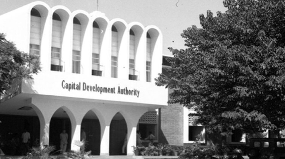
ISLAMABAD: The Capital Development Authority (CDA) has signed a Memorandum of Understanding (MoU) with SUPARCO for setting up a Geo-Spatial technology wing at CDA.
In this regard, a ceremony was held at the SUPARCO headquarters, which officials of CDA and SUPARCO attended.
Chairman CDA Muhammad Usman Younis and Chairman SUPARCO signed the MoU.
The purpose of establishing Geo-Spatial Technology is to improve the planning process.
Additionally, the Geo-Spatial technology wing will be established under the planning wing and will provide special training, Geo-Spatial services, and manage data.
As per the details, with the help of this project, CDA will be able to get satellite data for operational use.
It is important to note that SUPARCO will also assist CDA in several areas, including planning, monitoring, and mapping.


There was huge interest among Pakistanis to use their existing rocketry infrastructure to send satellites in space, to explore natural resources and help with agriculture. They wished to build these satellites themselves. We often test different missiles and rockets but rarely do we ever use some of the basic technology for tools that could provide us crucial data to uplift our backward and illiterate nation from its current, depressing conditions. It’s better than space exploration and faking moon landings.
Captain (R) Usman Younis is an energetic personality, definitely his efforts will bring transparency in all department of CDA following the foot prints of Kamran Lashari Saab. Allah Subhan O Tallah helps you…..