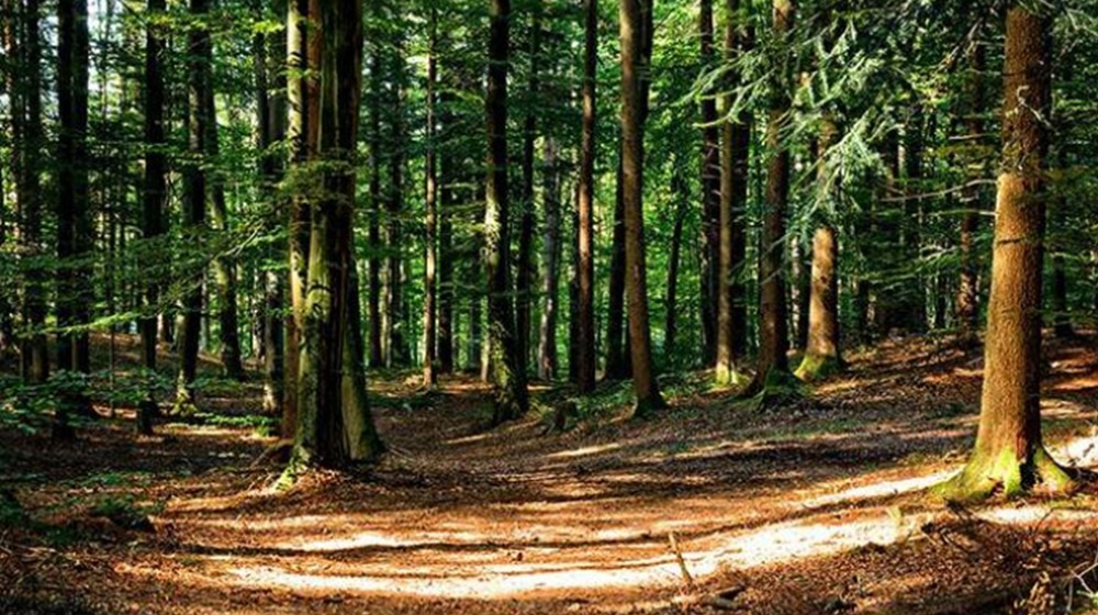
Punjab has taken a historic step by launching satellite-based monitoring of all forests across the province.
In a statement on Thursday, the Senior Provincial Minister Marriyum Aurangzeb announced that Punjab is now utilizing advanced high-resolution satellite technologies, including WorldView-3, SPOT 6-7, Pleiades, PRSS-1, Landsat, and Sentinel-2, to track forest areas, tree cover, and ecosystem changes in real-time.
Aurangzeb said live satellite feeds will immediately detect illegal logging, encroachment, and any suspicious activity. The Environmental Protection Force will respond to alerts without delay.
For the first time, Punjab is compiling a complete electronic record of all forests. The system aims to stop land tampering, illegal occupation, and unauthorized changes. Remote sensing will also help identify suitable sites for future plantation campaigns.
The minister stated that the technology will facilitate the early detection of forest fires, expedite damage assessment, and enhance departmental response.
Satellite data will also be used for wildlife protection and broader environmental conservation.
She said the system will protect real forest cover, curb irregularities, and strengthen long-term environmental safeguards for future generations.
Stay Connected with ProPakistani
Get the latest news and stories wherever you prefer.
Add ProPakistani to Preferred Sources and see more of our stories in Google Search and Top Stories.


