Pakistan finally launched the first-ever Remote Sensing Satellite PRSS-1 and Pakistan’s indigenous Technology Evaluation Satellite PakTES-1A on Tuesday, 14th August 2018.
In 2016, Pakistan and China signed an agreement for the launch of a special-remote sensing satellite. The aim of the agreement was to monitor the ongoing Pakistan-China economic corridor.
https://twitter.com/PlanComPakistan/status/1029334418924683265
The first two satellites were launched from Jiuquan Satellite launch center in China on July 9th, 2018 and became functional yesterday on 14th August. Furthermore, it was revealed that the control of satellites was transferred from China to ground control stations in Pakistan.
ALSO READ
Pakistan to Launch Multipurpose Remote Sensing Satellite Next Month
The proud moment could not have come on a better day, as 14th August 2018 marked the first official days for Pakistani satellites in space. President Mamnoon Hussain and interim Minister Nasirul Mulk appreciated and praised the efforts of Pakistani engineers at SUPARCO who were behind the successful satellite launch. He said, “the recent feat by the space engineers will also enable the country in agriculture classification and assessment, urban and rural planning and water resource management.”
https://twitter.com/PlanComPakistan/status/1029340443060908032
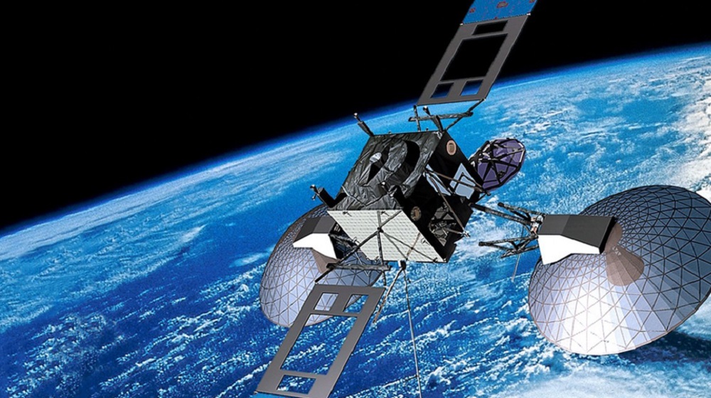
It was further revealed that PRSS-1, weighing 1,200 kg, and the 285 kg PakTES-1A will became operational at an altitude of 640km and 610 km respectively.
“The PakTES-1A, indigenously designed and developed by SUPARCO’s engineers, is equipped with an optical payload, Global Positioning System (GPS) and Geographical Information System (GIS),” stated the Ministry of PD&R.
The Ministry further unveiled that:
#PakTES-1A is a 285 kg satellite equipped with an optical payload commensurate with national needs. It has a design life of three years and will operate at an altitude of 610 km.
Via TheNews
Stay Connected with ProPakistani
Get the latest news and stories wherever you prefer.
Add ProPakistani to Preferred Sources and see more of our stories in Google Search and Top Stories.


now government will take its citizen selfies from altitude of 610 & 640 KM
So true and not to forget, political opponents.
What’s the benefits for this satellites ? for Pakistani People ?