Google Maps is very useful in many situations, especially in Pakistan where traffic conditions and road blockades are common.
Planning your travel and finding shortcuts or alternative routes is also a lot easier and you don’t have to rely on that one friend or relative of yours that knows the way to wherever you’re going. Not to mention the added hassle of explaining where you are and trying to decipher/understand the directions they give you.
New Addition
Today we’re getting another small but important feature for Google Maps in Pakistan, transit routes.
![]()
Before this update, you could only plan your route with a car, bicycle or on foot. Now, you will be able to include buses and public transport routes to calculate the time and distance for your routes.
A local guide named Umar Gondal made significant contributions to make the transit routes available. He also submitted the data required to bring this feature online.
Maps will now also tell you the bus arrival/departure times, letting you choose which bus to travel on as well. Other than that, you can also plan your route using Careem or Uber, making things more efficient and easier.
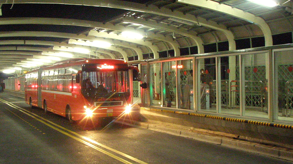
Multan Metro Only (For Now)
It should be noted that this feature is limited to Multan Metro only. We might see this expand to other public transit services and cities in the future.
You can download Google Maps on Android and iOS.
Stay Connected with ProPakistani
Get the latest tech news, telecom insights, and product launches wherever you prefer.
Add ProPakistani to Preferred Sources and see more of our stories in Google Search and Top Stories.


Its a start, but the map tracking is not great. It doesn’t follow the existing track of the Metrobus and makes an arbitrary one instead.
Its very common worldwide even for buses.
Is this a news? Level of posting?
This is great..would be awesome if starts appearing for Lahore too. With the e-challan and everything I think it would not be too far away. (Y)