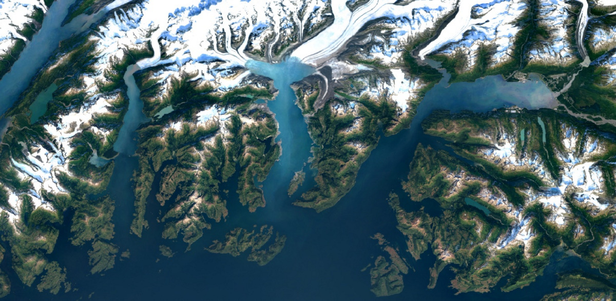
Google has been making imagery on Maps and Earth better gradually but the latest round of updates are the biggest in three years. Three years back, Google managed to stitch images to remove clouds. Now, it has repeated that same process again, but using Landsat 8 satellite of the US Geological Survey.
The data from the Landsat 8, which was launched in 2013, replaces that captured by the Landsat 7 which suffered a hardware failure, a failure that took out huge diagonal gaps of data from images. The new satellite captures twice as many images a day as its predecessor.
The result would not be difficult to see. The new images will be more detailed and will reflect the natural color of the objects more readily. That can be clearly seen in the before and after clicks of New York below:
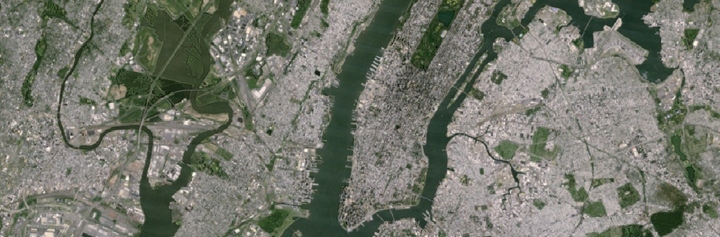
Before
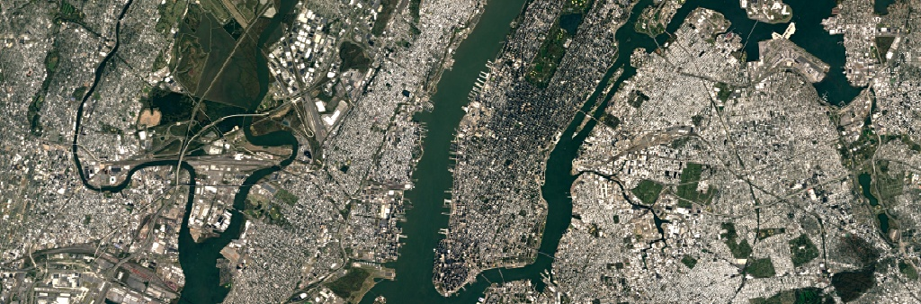
After
The data required to make the new mosaic was a result of an open-source agreement between NASA and the United States Geological Survey which makes it accessible to all. It comprises over 700 trillion pixels, which according to Google is 7000 times more than the estimated number of stars in the Milky Way, measuring almost one petabyte in size.
The data can be used by scientists to track deforestation, spread of diseases and water levels through the Earth Engine API.
The changes have already been implemented so don’t forget to check out Google Earth or the satellite configuration of Google Maps.
Stay Connected with ProPakistani
Get the latest news, tech updates, telecom insights, and business stories wherever you prefer.
Add ProPakistani to Preferred Sources and see more of our stories in Google Search and Top Stories.


